Big Shine Energy offers Professional Drone Services that deliver high-resolution data for applications such as surveying, mapping, photovoltaic installation planning, and facility inspections. Using advanced real-time kinematic (RTK) drones with ground control points and checkpoints, we ensure and validate the highest data accuracy.
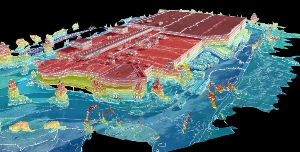
A point cloud is a collection of data points mapped in three-dimensional space, with precise X, Y, and Z coordinates. This creates a detailed digital replica of your facility or area, enabling accurate assessments and planning.
Uses of Point Cloud Models:

Surveying and Mapping
High-resolution aerial surveys for accurate site assessments and planning.
3D Point Cloud Models
Precise spatial data for interactive 3D visualizations.
Topographic Mapping
Elevation and terrain analysis for land development and solar installations.
Facility Inspections
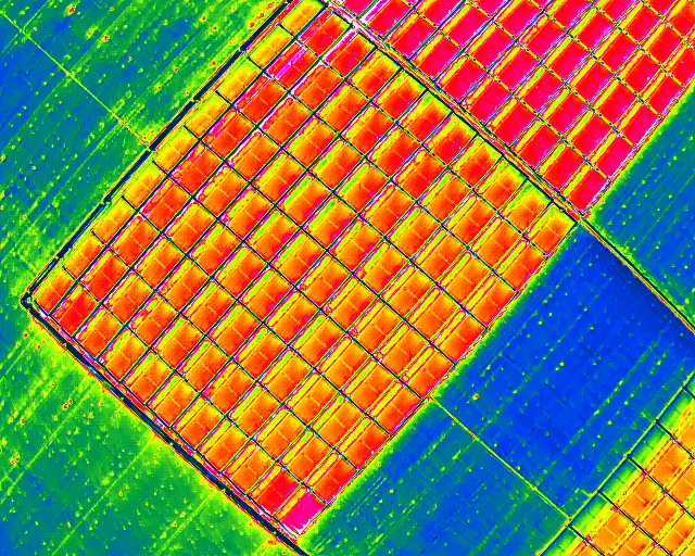
Drone scans to identify structural inefficiencies. For photovoltaic systems, we use thermal drones to detect hot spots, defects, and anomaly trends in modules.
Thermal Drone Inspections
Identify issues in PV modules, such as hotspots or performance irregularities, to optimize maintenance and operation.

Copyright © Big Shine Energy 2023. All rights reserved.
Copyright © Big Shine Energy 2024. All rights reserved.